UK Weather: Mini Heatwave Drives Temperatures to 26C as Tropical Air Surges In
Unexpected Heatwave Set to Sizzle the UK
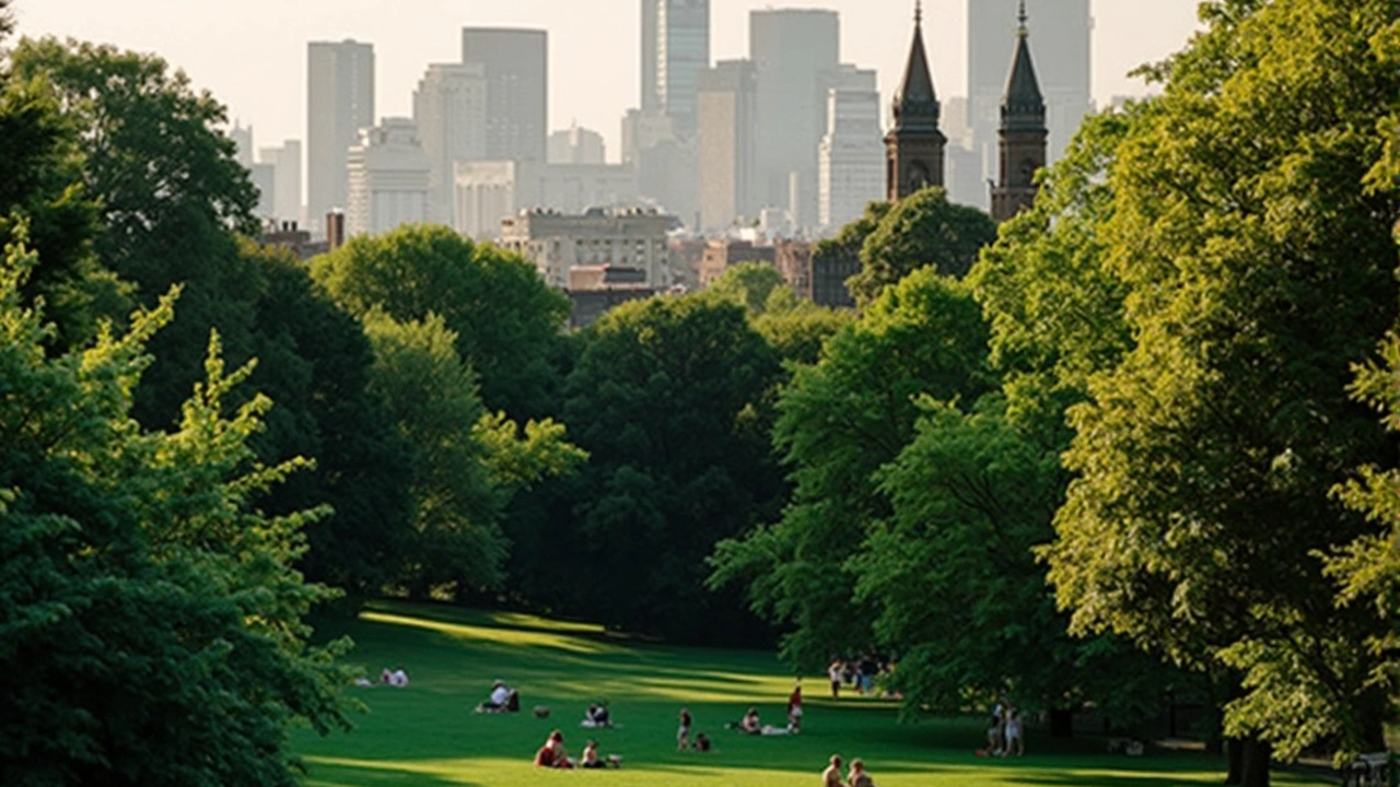
The UK weather is about to make a dramatic turn, breaking the springtime chill with a surge of sizzling temperatures. By the end of April and into early May, southern parts of Britain could bask in highs of 26°C, with the Met Office predicting that areas across southeastern and central England might see 23°C or even 24°C as soon as Tuesday. This isn’t just a slightly warm spell—these temperatures are punching almost 10°C above what you’d typically expect this time of year.
The driving force? A blast of tropical air funneling in from Europe. This plume is pushing a strong southerly airflow over Britain, turning weather maps a shade of red months before summer even starts. It means T-shirts and sunglasses could be the new uniform for Londoners and much of the South East in just a few days.
If you’re one of the thousands gearing up for the London Marathon, prepare for a scorcher. Forecasts suggest Sunday could see 22°C during race time—hot stuff for a spring marathon, and definitely warmer than most training runs over recent weeks. Up in Manchester, runners in their own marathon will enjoy slightly cooler but still very pleasant conditions, with 17°C under sunny intervals and only a gentle breeze to contend with.
Unpredictable Patterns and Possible Storm Surprises
After the weekend, high pressure could hang around, setting up especially to the east and southeast, which helps keep skies clear and temps up. Heading into Monday, the South East might peak at 24°C, and this mini heatwave could stick around into the early days of May. But don’t pack away the umbrella just yet—the forecast isn’t all sun-loungers and ice lollies.
Meteorologists admit there’s still some uncertainty hanging over the forecast. It’s all about which weather model wins out. Some see the heatwave holding strong, while others flag up the swirling risk of thundery outbreaks and heavy, short-lived downpours. Jim Dale, a weather expert at British Weather Services, said the real decider is where the high-pressure system anchors. Parked over the North Sea or southern England? That’s your barbecue weather. Edging away? Things get volatile, with storms thrown in the mix.
Honor Criswick at the Met Office says forecasters are pouring over new data, trying to pin down which scenario will play out—and for how long.
Looking at Saturday, don’t expect the warmth to hit full throttle everywhere at once. Western areas start a little cool and damp, with the mercury only between 13°C and 17°C. The further east you go, skies will stay mainly dry, and the climb toward those higher weekend temperatures gets underway.
If the tropical plume holds, parts of the UK could stay under sunny, settled skies well into early May—a rare treat for the British spring. But a stubborn pattern of instability means a sudden flip to heavy rain and thunderstorms is never far away. For now, keep one eye on the sky and maybe another on your sunscreen.